LandLens
Measure land on your phone with GPS or a satellite map
Productivity
#Maps#Pdf#PDF
Product Description
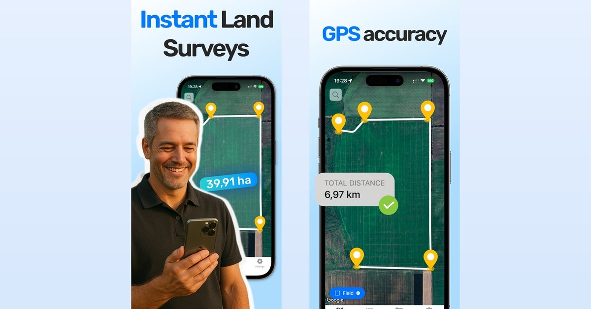
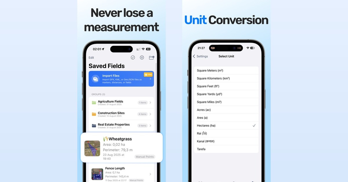
LandLens tells you how big a piece of land is. Walk the boundary with GPS or tap the corners on a satellite map, and you get acres, hectares, perimeter and distance. Save fields in folders and export them to KML, GeoJSON, Shapefile or PDF. No account needed. Works on iPhone, Android and the web.
Features
- GPS walk mode or tap-to-draw on satellite imagery. Curved edges, circles and cut-out holes. Undo for every edit. Address and coordinate search. Export to KML, KMZ, GeoJSON, Shapefile and PDF.
Use Cases
- Farmers checking field sizes before planting or buying inputs. Landowners and buyers sizing up a plot. Hunters mapping a lease. Contractors and landscapers measuring fence lines or lawn area for a quote.