Light Pollution Map
Find dark sky spots and check Bortle ratings anywhere
Developer Tools
#Maps#Travel#DeveloperTools
Product Description
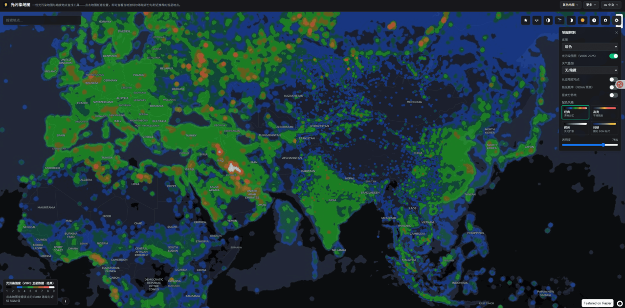
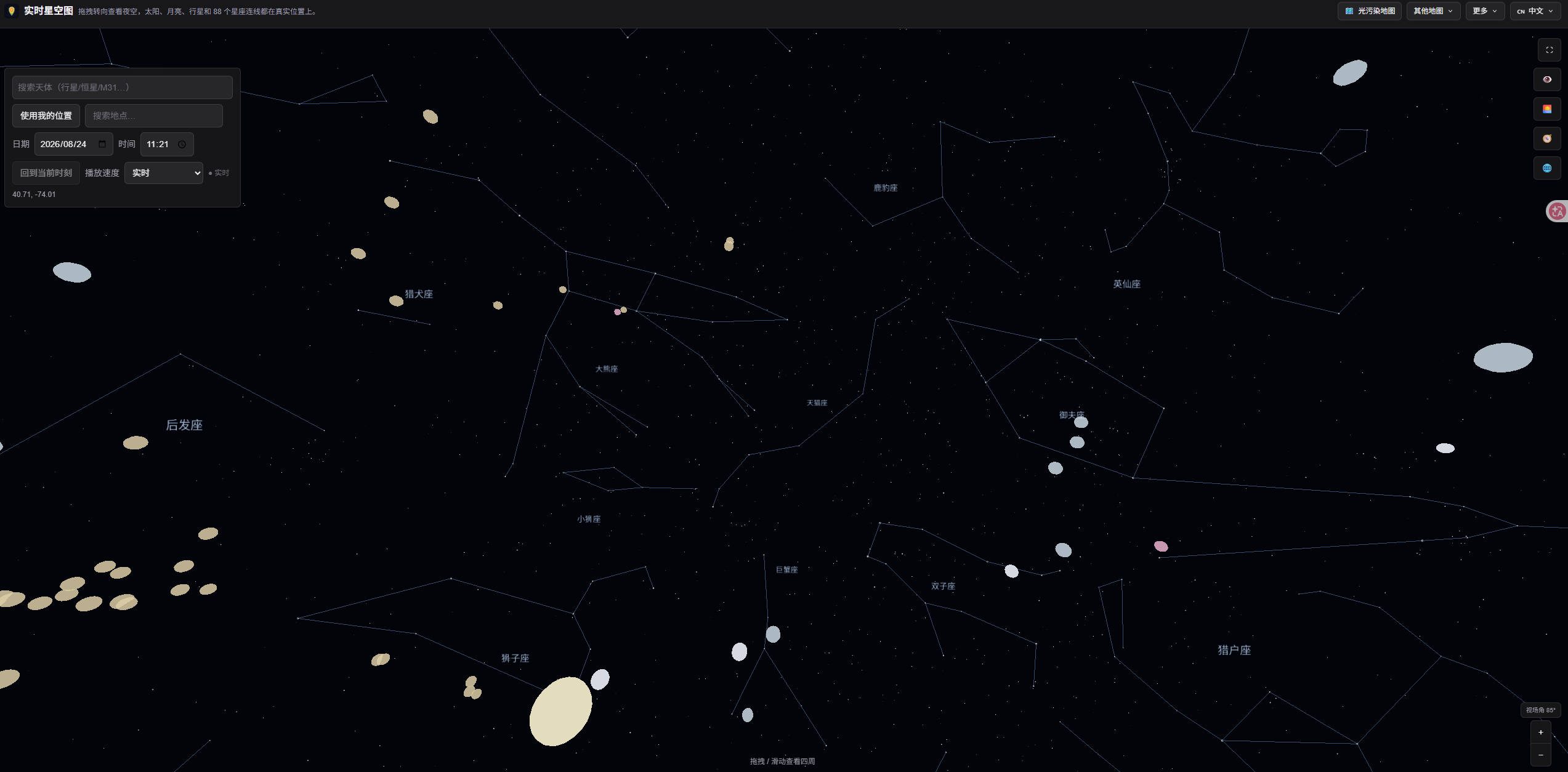
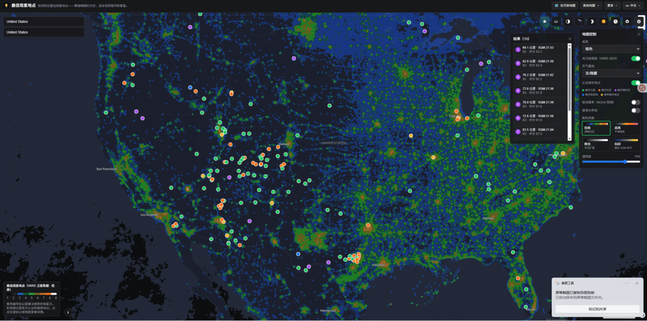
Light Pollution Map is a satellite-based light pollution and dark sky finder. Click anywhere on the map to instantly see the local Bortle scale rating and approximate SQM sky brightness, then find nearby certified dark sky locations for stargazing.
Features
- Click anywhere on the map for instant Bortle scale and SQM sky brightness readings
- Dark sky location finder with certified dark sky parks and communities
- Aurora probability layer based on NOAA forecasts
- Day/night terminator and moon phase overlays
- Meteor shower matching to find dark viewing spots
- Weather overlay (clouds, precipitation) for planning trips
- Photo-based sky brightness analysis
Use Cases
- Stargazers planning trips to the darkest nearby sky
- Astrophotographers estimating exposure times before a shoot
- Finding certified dark sky parks and communities near you
- Planning meteor shower and aurora viewing sessions