
Unfenced
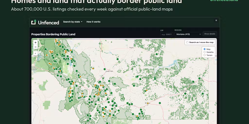
Checks ~700,000 U.S. listings every week against official public-land maps and shows the ~13,600 homes and land parcels that actually touch national forest, BLM
Productivity
#RealEstate#Home#Maps#Outdoors
Product Description
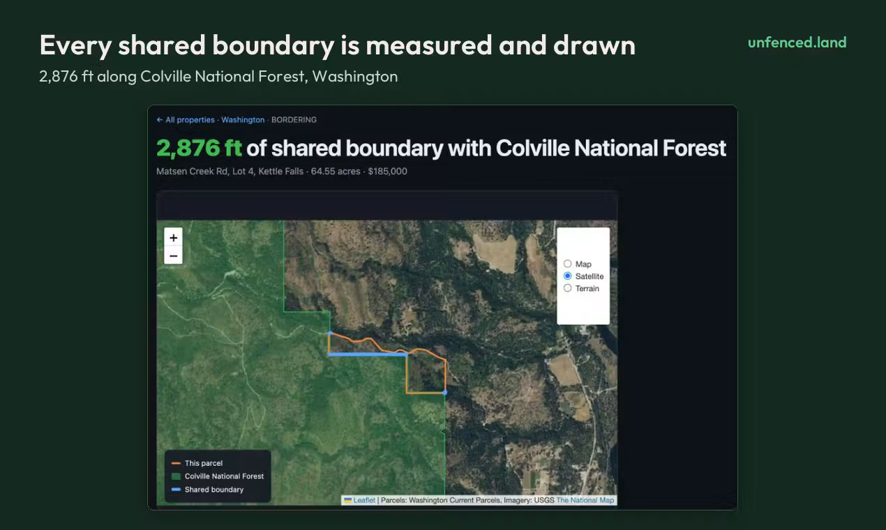
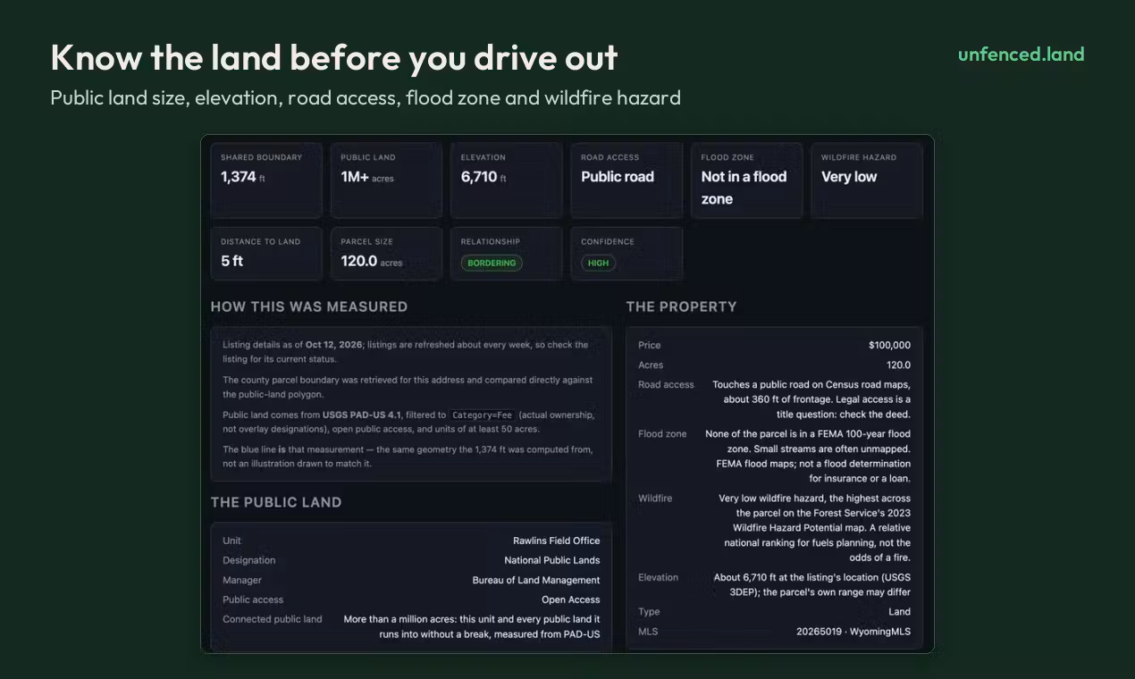
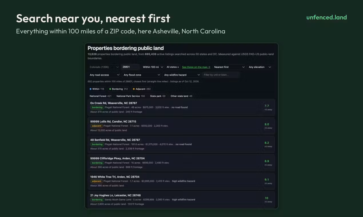
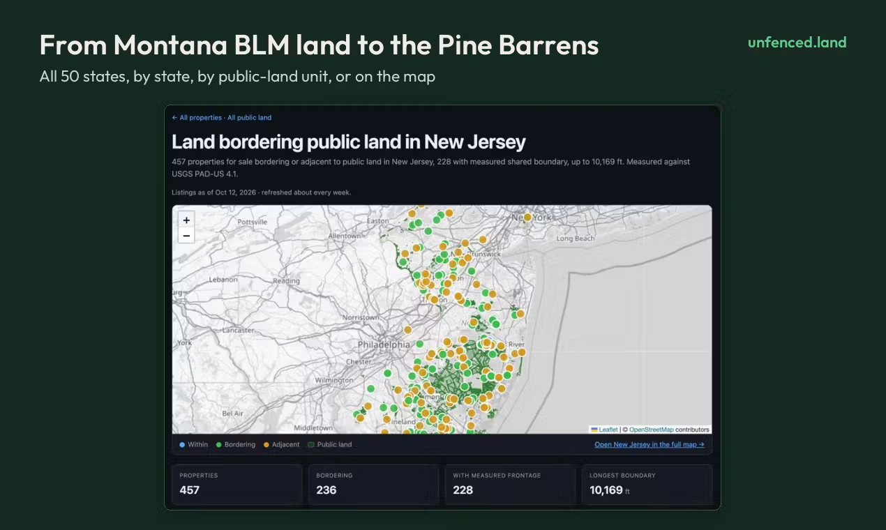
Checks ~700,000 U.S. listings every week against official public-land maps and shows the ~13,600 homes and land parcels that actually touch national forest, BLM and state land. Each one is measured from its county parcel boundary: the shared edge in feet, drawn on a map, plus how much public land is behind it, elevation, road access, flood zone and wildfire hazard. Search by ZIP or state. Free, no account needed.